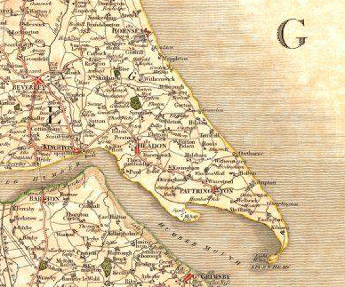
A Map of the East Riding of Yorshire 17th or 18th Century

A lovely old map of the East Riding of Yorkshire from the 17th or 18th century.
It does show Withernwick and the more or less present road system around the village.
Return to Gallery
A Map of the East Riding of Yorshire 17th or 18th
Century

A lovely old map of the East Riding of Yorkshire from the 17th or 18th century.
It does show Withernwick and the more or less present road system around the
village.
Return to Gallery